Day 88: A Very Big Hill
Wednesday, August 17th, 2022
- Location: Republic, WA
- Longitude: 118° 44' 18" W
- Latitude: 48° 38' 50" N
- Miles Today: 41
- Total Miles: 3765
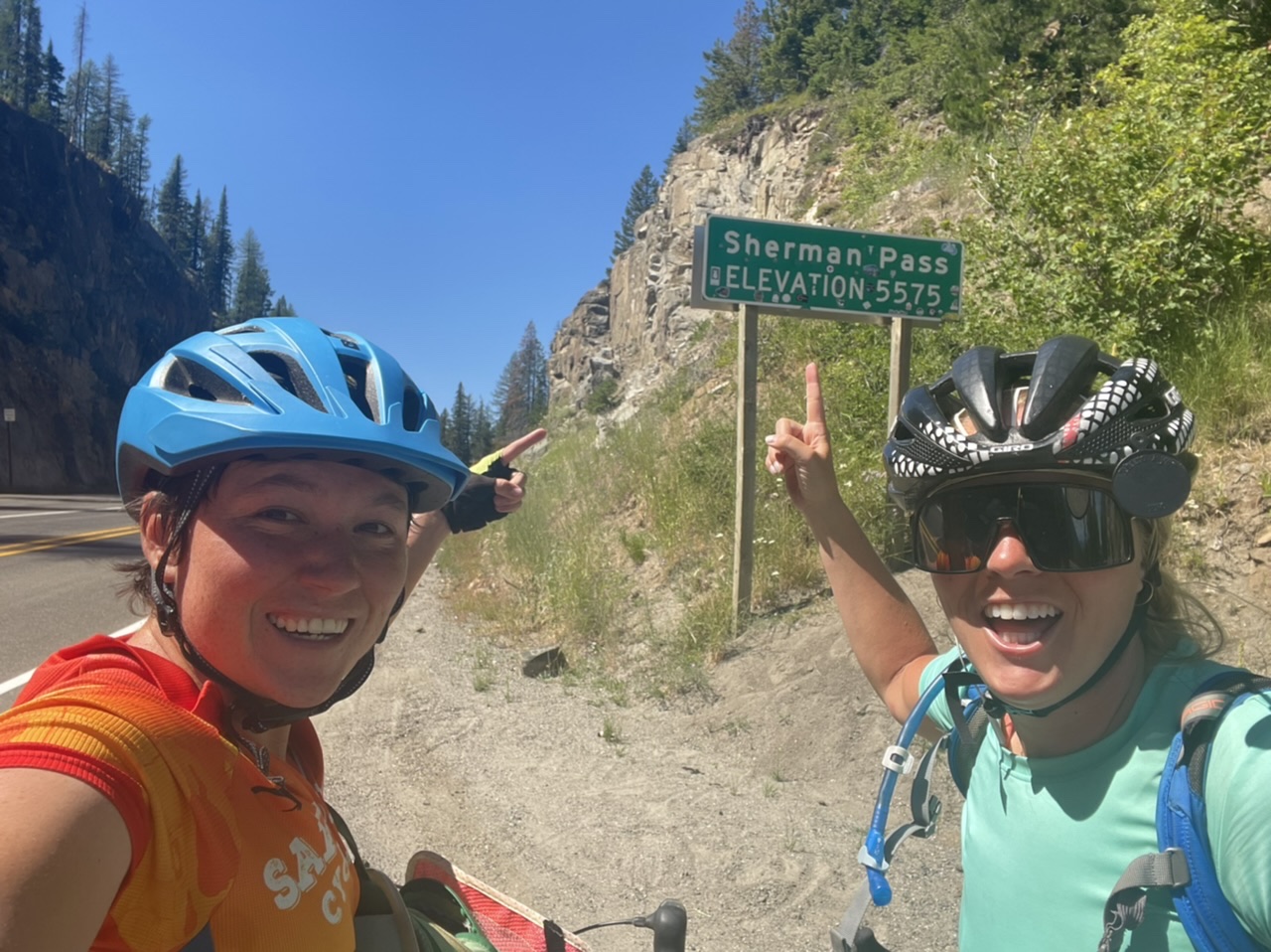
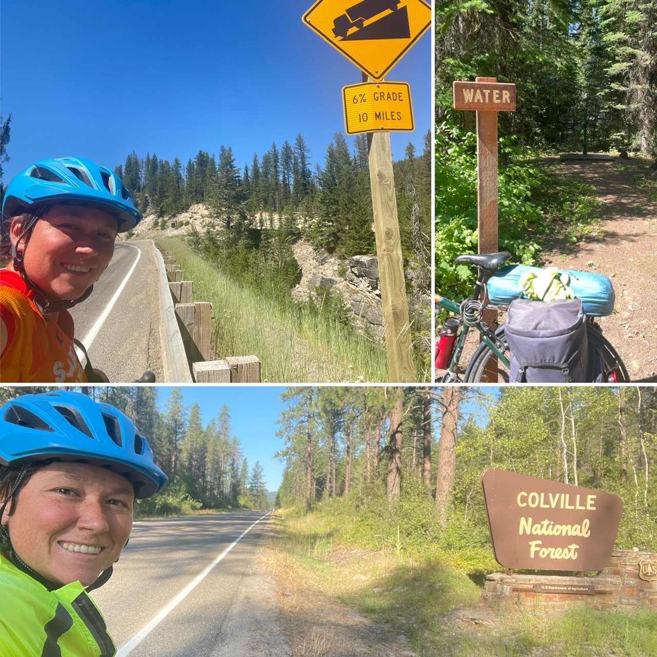
We made it up and over Sherman Pass! The pass itself is at 5,575 feet of elevation and we did about 4,000 feet of climbing to get up there. It took several hours to go up and then we quickly undid it with a lovely descent down into Republic.
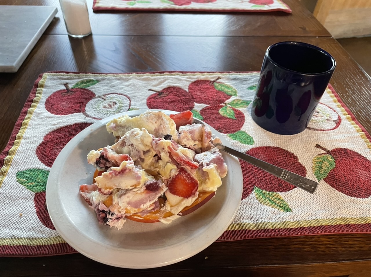
Cake for breakfast is always a good start to the day. I had a bagel, some leftover trifle and a mug and a half of coffee this morning to get me ready for going over the pass. After breakfast, we loaded up the truck and Amy and Jason took us down to Kettle Falls (actually slightly past so we didn’t have to bike over the narrow busy bridge out of town). My front brakes got a little wonky in transit, but we were able to adjust them back into working shape pretty quickly. Then MK and I were off (slowly) up the pass.
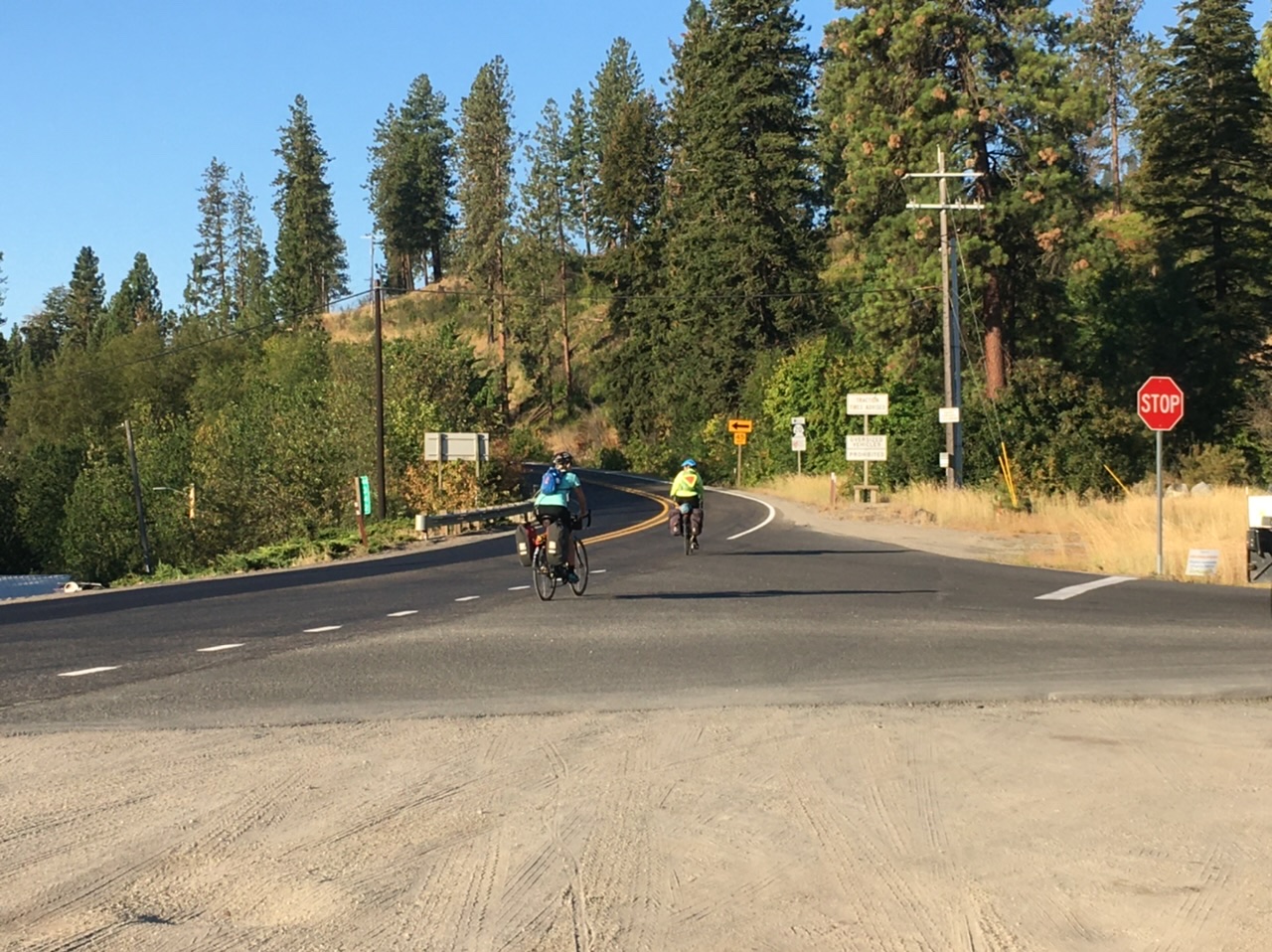
The first fifteen or so miles of the pass were a bit more gentle and a little bit rolling. The road wound its way through the Colville National Forest along some streams. The shoulder wasn’t huge, but always there and the cars were generally good with the exception of a couple logging trucks that really should and could have given us more space.
About two hours into climbing, I needed a snack break. MJ and I found a nice little bridge over a stream to eat some food and take a brief rest. At this point the road was only going up, so the going was getting slower. We had maybe eight miles to go, but that was probably another 1.5-2 hours of climbing. We didn’t stop for two long as we were trying to beat the heat.
As the climbing became more constant, our tortoise/hare dynamic exaggerated even more. I tried to make it to the mile marker before taking a breather, but in the last few miles can’t say I always did. MJ was more slow and steady. There was a campground about a mile from the top where we were able to find some excellent (cold, tasty) water, though it was a hand pump, so a bit messy. We also co-opted an empty campground to take another snack break and brief rest before finishing the climb and heading down.
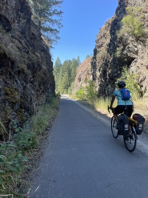
The last mile was very doable - probably a combo of the rest, snacks, and adrenaline. We stopped at the top to revel and document, then finally shifted out of our granny gears and started coasting down. The descent was generally really smooth road, not a ton of cars, and not too steep. We were able to coast most of the way to Republic before we actually had to start peddling again. A bike path took us the last couple miles to the edge of town and then we had to go up one last small hill to get into town.
It’s very hot here. And staying so for the next few days. Given this, we got a motel for the night (and the next two). It’s just too hot to camp and actually sleep well and rest and recover for the next mountain pass. We’ve got almost a pass a day for the next four days.
MJ wandered into town while I showered, washed some things, and did some catching up with family. I texted her to let her know I was probably going to head to the brewery to read and it turns out she was already there reading. We took up camp in a couple of rocking chairs to read our books and sip our beers. A nice quiet way to spend the afternoon.
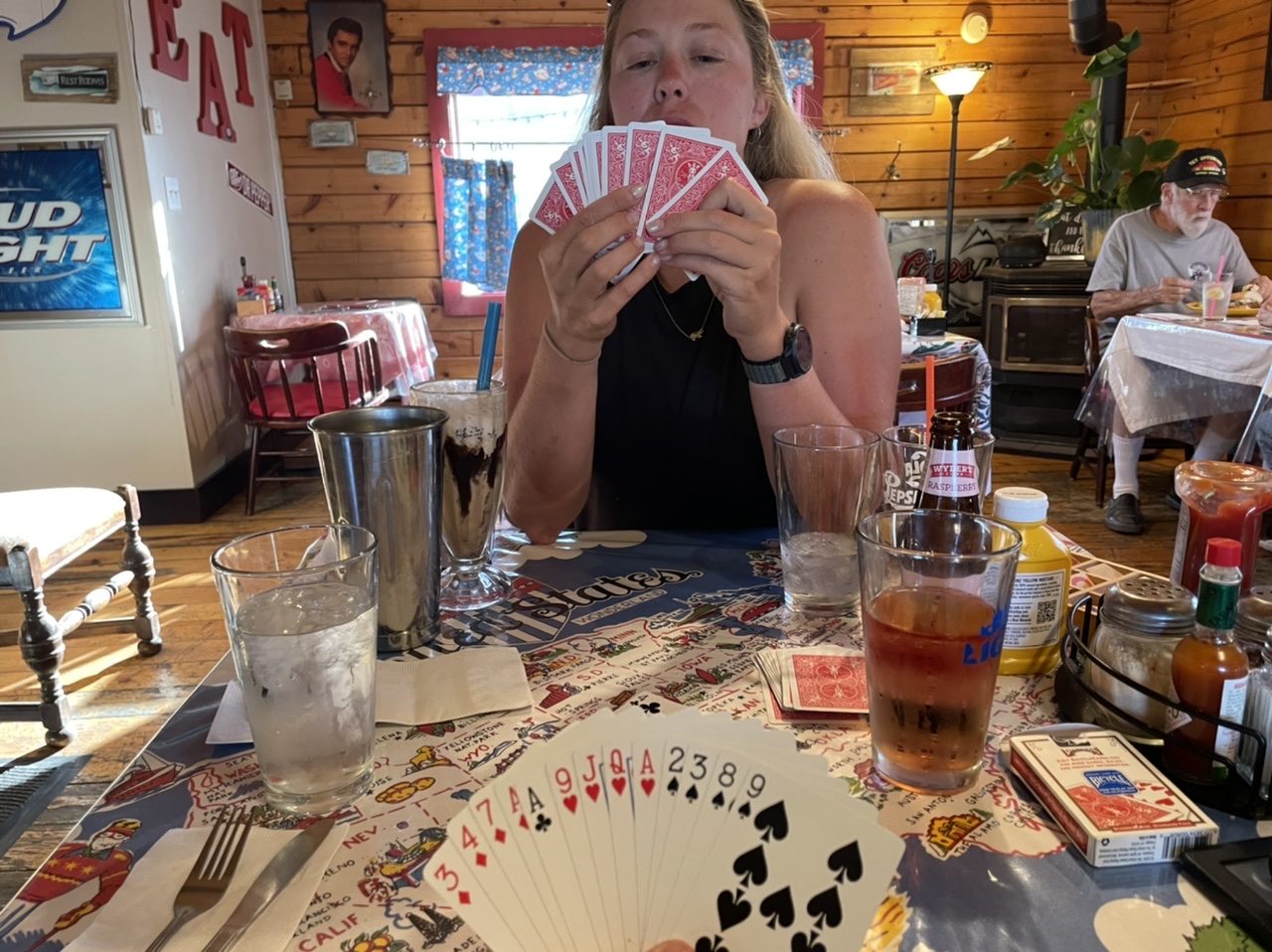
Before going to the brewery, MJ had gone to the coffee shop. It was a cool place and the guy there recommended Steve-O’s for dinner, so off to Steve-O’s we went. Burgers and fries are the thing there, so we both got some and they were excellent. While waiting for our food, I taught MJ how to play two player spades and we got a few hands in. We’re keeping track of our scores to continue later. So far, it’s a close one.
Tomorrow will be another early morning to get our climb in before it gets too hot. Wauconda Pass is a bit lower and also less of an elevation change as we didn’t go down as far as we went up today. Our legs are definitely feeling today’s climb, so we’ll see how they feel tackling another climb tomorrow.
